

MORE COMING SOON
Stats:
Category: Strenuous
Miles: 10
Elevation Gain: 3300'
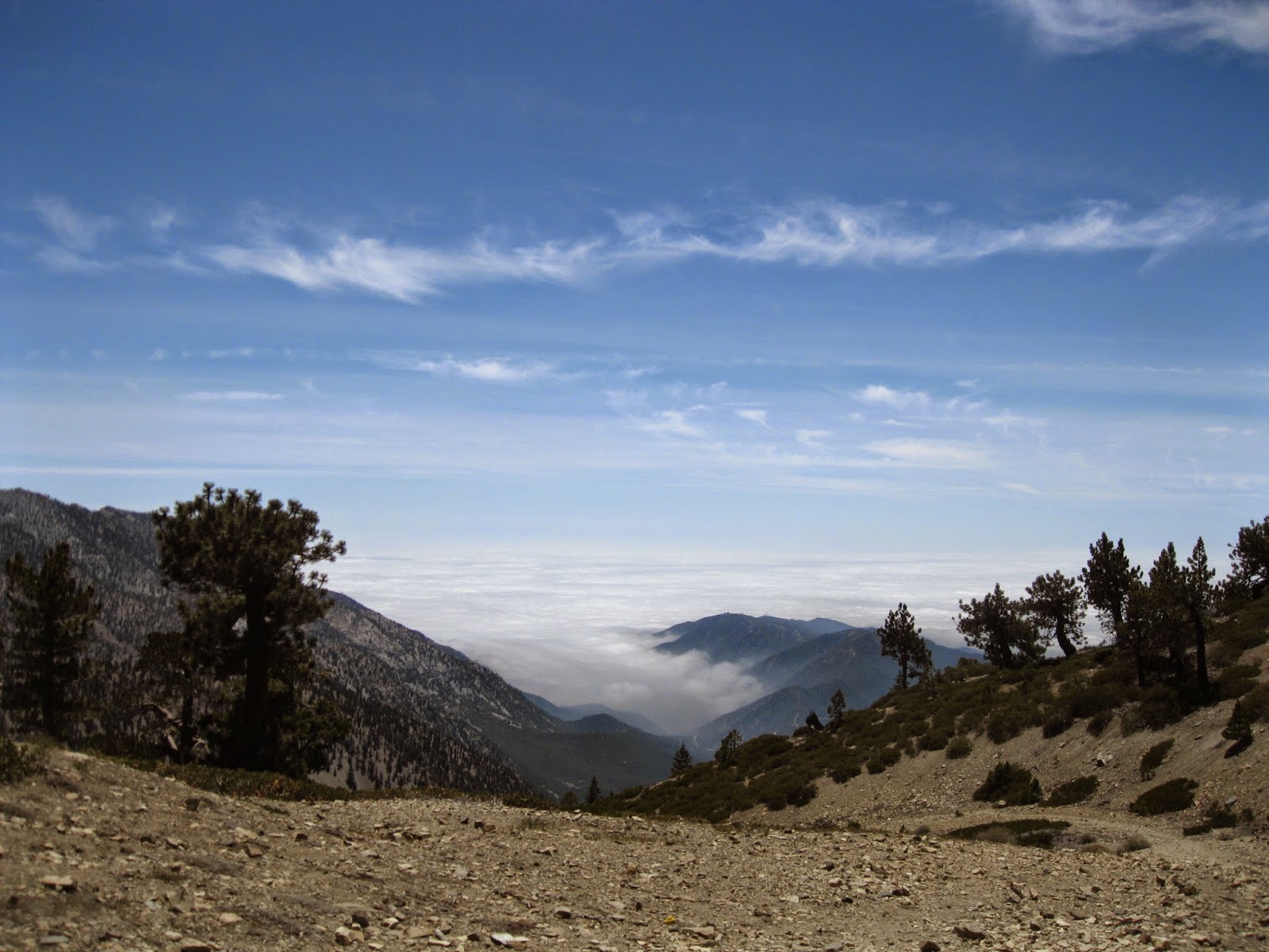
Location: Angeles National Forest
Directions: From the I-210 in Claramont, exit baseline, and turn right off the highway, then turn left on baseline. Soon, make a right on Padua Ave, and after 2 miles turn right onto Mount Baldy Road. Stay on it for about 15 miles( Through the small community of Mount Baldy, and up some windy turns) until you reach MANKER FLATS CAMPGROUND. Go by it. There is a island in the middle of the road, park there or on the side of the left side of the road road, and look for a locked street called, Falls Road, this is the trail.
The Trail:


Nice post, Joseph. Great photography too. I followed the crowd to Baldy's summit on Sunday 24 May. Next time I will take your advice and dawdle a bit on Harwood instead.
ReplyDelete