Rising above the rural Anza Valley, stands lonely Cahullia Mountain (pronounced Ca-Wee-Ah), a mountain both of ancient Indian legend and the set of the 1880 Southern California novel Ramona. Perhaps the reason this mountain serves as the base of both stories is because of its unique location juxtaposed between the bulwark of San Jacinto and the coastal Palomar Range. On its lower slopes it bears think blankets of chaparral, while upwards it transitions into a blissful Black Oak-Pine woodland. Although out of the common traveling path of the Southern California hiker, this peak is well worth a visit, and you will likely be the only one on the mountain.
Stats:
Category: Moderate
Miles: 9.2
Elevation Gain: 1,800'
Location: San Bernardino National Forest
Directions: Here (This trailhead is on a fair dirt road. I stopped at the gate at the old Tripp Flats Fire Station, and walked up the continuation of the dirt road from there. If you have a tough 4x4, you can drive another 1.5 miles to an alternate trailhead at a small saddle...leave a comment if you wish more info on the road)
 The Trail: From the entrance to the old Fire Station (4,000'), continue upwards on the dirt road, as it winds on a moderate slope through prime montane chaparral. As you gain elevation, the views north open up to Thomas Mountain, and the great massif of San Jacinto. After reaching a small saddle (4,500') in 1.5 miles, you turn left onto the designated "Cahuilla Mountain Trail". Once on the single track trail, you will begin gaining elevation at a more substantial level, however this is counterbalanced by the growing views into the wide, arid Anza Valley and northwestward towards snow-striped San Gorgonio Mountain.
After the trail winds a few bends, you enter into a wonderful Black Oak grove at around 5000'. From here on, you will leave the chaparral behind and meander through these magnificent stands of trees, along with their meadows, including a sizable amount of Coulter, Ponderosa, and Sugar Pines. A drawback to this otherwise idyllic section is the fact that the tail makes about 100' of dips through the forest, which of course must be regained on the return. Alas, after nearly 3 miles on this path, it will end on the summit of Cahuilla Mountain proper (5,635') with its expansive views from the Rabbit Peak ridge near the Salton Sea to Santiago Peak in Orange County, and everything in between. After signing the summit register, return the way you came.
Riverside County. Hiked 4-22-2016.
 |
| The Trailhead (Near the old Tripp Flats Fire Station) |
 |
| Thomas Mountain |
 |
| Our Lord's Candle Yucca in bloom |
 |
| A gopher snake on the road! |
 |
| The saddle where the single-track trail begins |
 |
| Going upward on the trail |
 |
| More of the same... |
 |
| Views are growing east.. |
 |
| Dense Chaparral |
 |
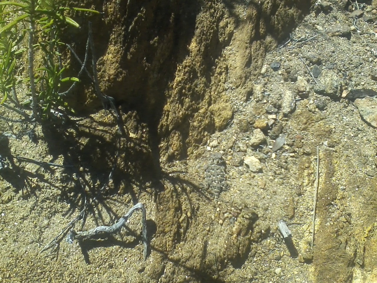
| Can you find the horned lizard? |
 |
| There he is! |
 |
| The not-so-distant Oak-Pine woodlands, where you will soon be |
 |
| Entering the Forest |
 |
| Manzanita in bloom |
 |
| Some Coulter Pines |
 |
| A mountain meadow topped by oaks and pines... |
 |
| Trail through some of the ups and downs |
 |
| Thick forest |
 |
| Another beautiful meadow |
 |
| Nearing the summit |
 |
| Summit Proper |
 |
| View south |
 |
| The Anza Valley, and Hit Springs Mountain |
 |
| San Jacinto |
 |
| View west |
 |
| Santa Rosa Mountains from a meadow on the desent |


 The Trail: From the entrance to the old Fire Station (4,000'), continue upwards on the dirt road, as it winds on a moderate slope through prime montane chaparral. As you gain elevation, the views north open up to Thomas Mountain, and the great massif of San Jacinto. After reaching a small saddle (4,500') in 1.5 miles, you turn left onto the designated "Cahuilla Mountain Trail". Once on the single track trail, you will begin gaining elevation at a more substantial level, however this is counterbalanced by the growing views into the wide, arid Anza Valley and northwestward towards snow-striped San Gorgonio Mountain.


How is the dirt road from the paved highway to the Tripp flats station where you parked? I have a little Honda Civic and was wondering if it passable for a small passenger car.
ReplyDeleteActually there are two roads from the highway, Cary Road (which is paved), before it becomes Tripp Flats Road, then it merges right and turn dirt. From there, the dirt section was a good-fair road in April, and I would imagine a small car would have had no problem then. However, there have been summer monsoons, and three winter storms so far, so it could be totally different now. I would still go, check it out, and if it is too much bail for: http://hikinginsocal.blogspot.com/2016/02/thomas-mountain-6825-via-ramona-trail.html
Delete