

 While mountain peaks and passes are my preferred destinations while hiking, watersheds and river-canyons can be nearly as spectacular as well. I had been wanting to do the East Fork of the San Gabriel River to the Bridge to Nowhere for quite some time, but never actually found the right time for it. I have hiked from Wilson to Baldy and from San Gorgonio to Whitney, but I was still missing this hike: my last quintessential Southern California trip. Part of the reason I had put if off so long was for the notorious crowds in a fair-weathered weekend for Bungee Jump America's new attraction at the destination, and the reputation it has for attracting "hikers"; namely unprepared, boom-box blaring flip-flop wearing teenagers from the Basin who want to test their "Big Hike" endurance (and other hiker's nerves) in a federally designated Wilderness area, the Sheep Mountain Wilderness. Surprisingly while I was there I left early enough to avoid the majority of the weekend crowds and chaos, and I found myself wondering many times if I was in fact on the correct trail. Happy to say, I was, and I found it to be a most enjoyable half-day hike. As hiking legend Jerry Schad acclaims, "The trek to the old bridge is in the same league as the climb up Old Baldy."-- If this is true, how can you miss out?
 Stats:
Category: Moderate
Miles: 9
Elevation Gain: 1000'
Location: Angeles National Forest, Sheep Mountain Wilderness
Directions: Here

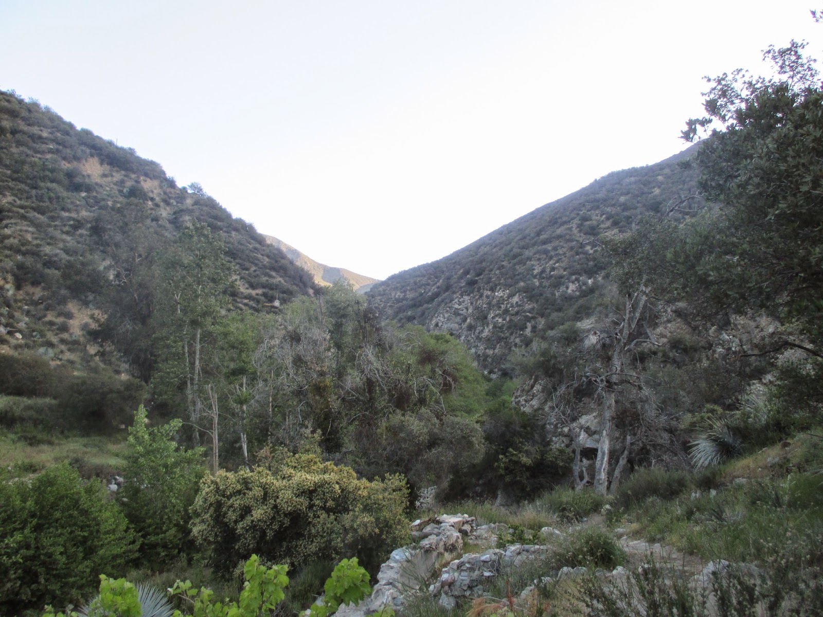
Anyhow, as you progress further in to the canyon you enter into the Sheep Mountain Wilderness, marked with a sign, and impressive views of Ross Mountain towering high to the north above the canyon walls. For a large section of the trip you are hiking not directly near the water, but about 20-100' above it an an overhanging cliff, usually to the east of the river. Take in the fresh mountain breeze, and let it breathe into your spirit. Watch the Alder trees and seasonal grasses dance in its breath below, while the San Gabriel cascades down from the summits to the cities. The escarpment of solid igneous walls around give testament both to the river's mighty rampages throughout the ages and the mountain range's ever-active geological faults. All are precious gifts from the Creator.
After four miles, you make a sudden turn east and in no time at all, you will be at the infamous Bridge to Nowhere, complete now with a rather tacky Bungee Jump concessionaire, which because this bridge is an island of private property in a sea of designated wilderness, is technically and most unfortunately legal. Many ask why there is a solid vehicle-worthy bridge in the narrows deep in San Gabriel Canyon. The Answer is that back in the 1930's there was a road proposal to complete a highway from Glendora to Wrightwood through this canyon. The idea was abandoned after the great flood of 1938, as the great, wild, untamed upper San Gabriel River stood too much in the way of modern progress. Thus it remains in the shadows of the past. You can continue on into the Narrows, deepest gorge in Southern California with peaks rising over 5000' above the canyon on either side. I because of time constrictions, did not proceed. When done, return the way you came.
Saint Faustina, Pray for us!
Divine Mercy Incarnate, Raise us to You!
Hiked: 4-11-2015, Los Angeles County, Wilderness Permit Required and Adventure Pass.
 |
| Trailhead: 7:22 am |
 |
| Heaton Campground and Allison Saddle Split |
 |
| First Crossing |


 |
| Solitary Tranquility |
 |
| The might shoulders of Iron Mountain (8,007') |
 |
| Spring grasses |

 |
| Wilderness Sign |
 |
| Ross Mountain (7,402') |

 |
| Almost there! |
 |
| Tacky Bungee stuff..... |
|
| The Bridge after crossing it. |
 |
| Bungee Jumping... |
 |
| View of the River from the Bridge |
 |
| Wow! During my 20 minute break look at how it fills up! I hiked ahead of the crowds all morning! |
No comments:
Post a Comment