
In the far eastern reaches of the San Bernardino Mountains lies a land of transition and change. It is a landscape sealed with the mark of the inevitable decrease in life-giving moisture as these mighty peaks fall in ridges into the Mojave desert below. One such of these ridges also happens to hold the highest paved road in Southern California, Onyx Summit (8,445') on Highway 38, and consequently offers the hiker a genuine headstart to the semi-arid highlands above. On the eastern side of the pass, stands Onyx Summit, the highest point on the Pacific Crest in the San Bernardidnos, and on the western side, a long, lonely hogback of a ridge culminating in potently named Lightning Gulch Point, offering terrific views of the nearby San Gorgonio high country on Big Beat Lake. This trip travels through some of the most pristine pinyon-juniper woodlands in the region and is also one of the least frequented areas in the forest. For the mountain saunterers in search of quiet trails, who wish to witness firsthand how nature adapts to the changes in the environment, this trip through the eastern high country of the range is a most suitable expedition.
Stats:
Catagory: Strenuous
Miles: 12
Elevation Gain: 2000'
Location: San Bernardino National Forest
 The Trail: From the Onyx Summit (not to be confused with the Onyx Peak proper) parking area off of CA-38, head northeast onto Forest Road 1N01, which leads very gradually to the top of the crest. In fact, it winds almost unbearably slowly in places, as it takes over 3 miles to ascend only 700'. Thankfully, some points along the route keep the journey interesting. After about 1.5 miles from the parking lot, the dirt road intersects the PCT Trail, and in season (usually May), one can stop near a hiker's couch and chat with a number of dedicated through-hikers, enduring the 2,600 miles trip from Mexico to Canada along the Pacific Crest. Continuing on, the road offers some pleasant views into the Baldwin Lake basin, a large endothermic (seasonal) alkaline bed in the backend of the Big Bear Valley. The road makes a rather large switchback to the south, before ending atop the antenna-laden summit of Onyx Peak, the highest point in Southern California that serves in a radiowave capacity. While the views are generous in some spots, they are laking in others on this rather wide, non-conical summit.
Returning back to the trailhead, the trip continues on the other side of Highway 38. Cross the road carefully onto the western end, where the route to the summit of Lightning Gulch Point lies. This route follows a very old, completely devastated 4WD road that, judging by the looks of erosion, must not have been maintained for over 30 years. No matter to the hiker though, as it now serves as a footpath into the eastern ridges of the range. The path is strikingly steep in places, and also quite loose in others, so patience and slow-going may be of want. Along the way, various species of trees are passed, but really there are two main arboreal sections on this ridge: the first half, replete with mighty weathered Western Junipers and Pinyon Pine, and the second half, consisting mainly of that lofty beneficiary of subalpine climates, the Lodgepole Pine. As the route approaches Lightning Gulch Point, the trail suddenly drops, which leads to a most unpleasant trip upon talus 300 steep feet to the marked summit. Here, views are quite encompassing particularly of the great majesty of snow-lined San Gorgonio Mountain and its stately companions. After enjoying the view, return the same way back to the trailhead, being mindful of a couple of ups and downs again along the way back.
Hiked: 5/29/2018. San Bernardino County. No Adventure Pass needed.
 |
| Onyx Summit TH |
 |
| Route to Onyx Peak (Road 1N01) |
 |
| Baldwin Lake Basin (white bed) |
 |
| PCT Crossing |
 |
| Indian Paintbrush along the way |
 |
| Hiker's Couch on the PCT |
 |
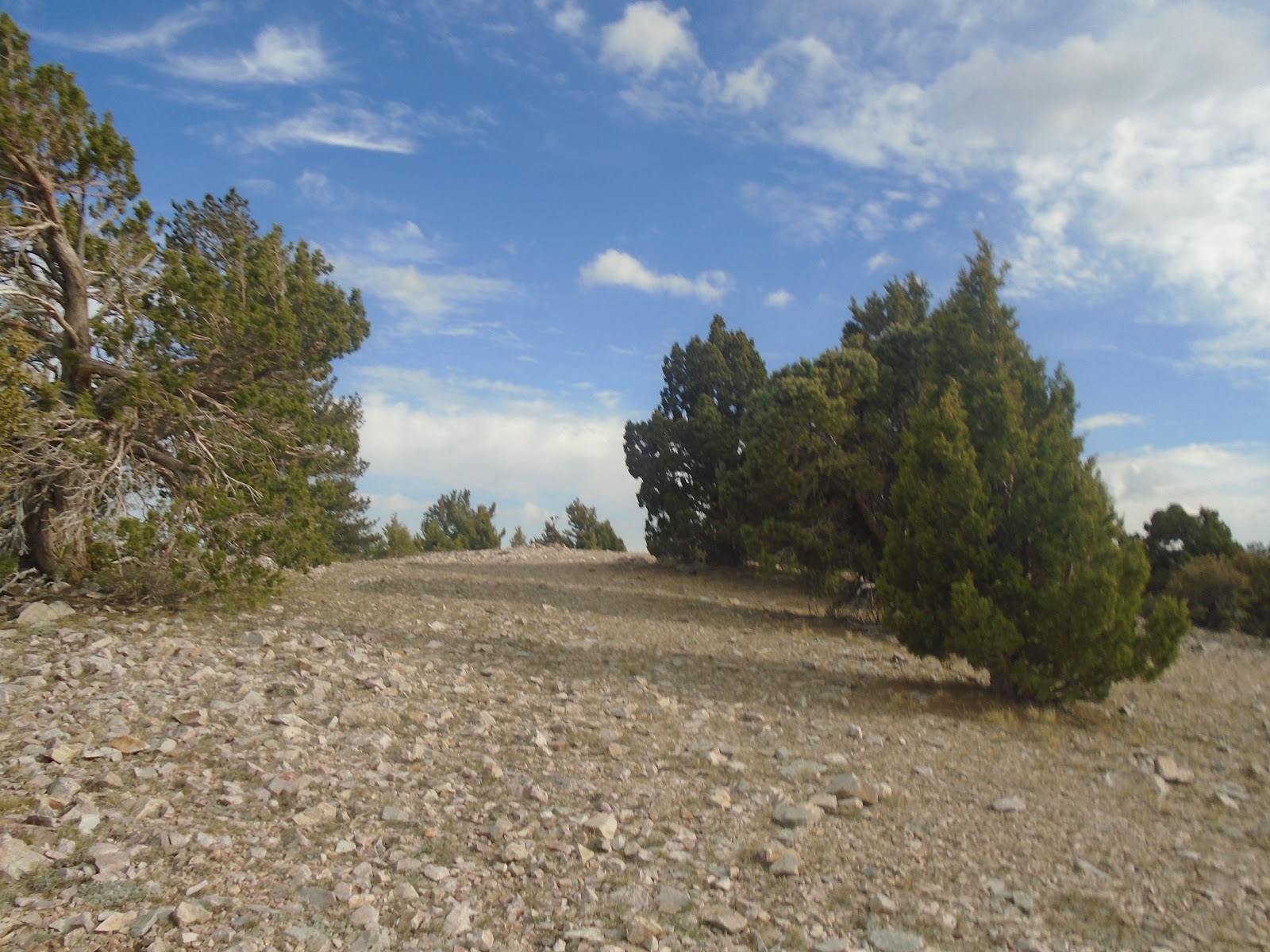
| Mixed Eastern woodland |
 |
| San Gorgonio high country |
 |
| Appraoching summit |
 |
| Wide route to peak |
 |
| Summit radio towers |
 |
| View into Mojave Desert |
 |
| San Jacinto Mountains |
 |
| Back at HWY 38, about to cross |
 |
| Route across CA-38 |
 |
| Nature claims back a 4WD road |
 |
| Steepish sections...and sandy |
 |
| Quite steep part |
 |
| Plant Diverity 1: Prickly Peat Cactus at 9,000' |
 |
| Plant Diversity 2: Manzanita |
 |
| Plant Diversity 3: White Fir sapling |
 |
| Native bunchgrasses on trail |
 |
| Some Ponderosa Pines |
 |
| Talus slope |
 |
| Sub-Alpine Lodgepoles |
 |
| Steep talus slope appraoching Lightning Gulch Point |
 |
| Subalpine flowers |
 |
| Windswept summit... |
 |
| Big Bear Lake from top |
 |
| Summit Panorama |
 |
| San Gorgonio Wilderness from summit |
 |
| Summit flowers |
 |
| View north into the Mojave |
 |
| View South and San Jacinto Mountain |


 The Trail: From the Onyx Summit (not to be confused with the Onyx Peak proper) parking area off of CA-38, head northeast onto Forest Road 1N01, which leads very gradually to the top of the crest. In fact, it winds almost unbearably slowly in places, as it takes over 3 miles to ascend only 700'. Thankfully, some points along the route keep the journey interesting. After about 1.5 miles from the parking lot, the dirt road intersects the PCT Trail, and in season (usually May), one can stop near a hiker's couch and chat with a number of dedicated through-hikers, enduring the 2,600 miles trip from Mexico to Canada along the Pacific Crest. Continuing on, the road offers some pleasant views into the Baldwin Lake basin, a large endothermic (seasonal) alkaline bed in the backend of the Big Bear Valley. The road makes a rather large switchback to the south, before ending atop the antenna-laden summit of Onyx Peak, the highest point in Southern California that serves in a radiowave capacity. While the views are generous in some spots, they are laking in others on this rather wide, non-conical summit.


No comments:
Post a Comment