Standing a full head and shoulders over the rest of the peaks in the near vicinity is Strawberry Peak, a prominent pyramidal shaped mountain standing as the highest in the Front Range of the San Gabriel Mountains. To some it appears as an upside-down strawberry, hence the rather uninspiring name for such glorious peak.
This mountain stands a a testimony to Creation's will to survive, as this summit and much of the rest of this trip was scorched in the 2009 160,000 acre Station Fire. Although it's been nearly 6 years since that awesome blaze, the mountain is still having a rather hard time recovering, as the scars of flames past are rampant upon the slopes of this mountain. Without sufficient vegetation to hold the soil together, even parts of the mountains them selves are giving way to erosion at an abnormal rate. Nonetheless, the greenery and natural charm of this region in being regained day by day through the wind, rain and snow of the last half-decade.
On a lighter note, this climb is one of the greatest in Southern California, and no true SoCal hiker would want to miss out on this peak attempt. The easier route is along eastern side of the mountain, a fairly steep trail walk; but it is the exposed West Face that truly beckons mountaineering adventurers. It calls to climbers to come and to tackle its precipitous ramparts. It is rated as Class 3, which means it is only for experienced hikers who wish to test their skill on some more difficult terrain,as fall from a Class 3 route could be very serious. Whether you are an expert climber who wants some afternoon fun or a novice who wishes to try out exposed rock scrambling, Strawberry Peak is a perfect trip.
Stats:
Category: Strenuous
Miles: 15
Elevation Gain: 4,179'
YDS Climbing Rating: Class 3
Location: Angeles National Forest
The Hike: From the rather ordinary turnout off Angeles Crest Highway, follow the unmarked Colby Canyon Trail down into its namesake canyon, and you soon you will cross a seasonal stream and quaint Colby Canyon Falls. After meandering through the canyon for about 0.5 miles, you begin to gain some elevation, and rise out of the small vale. Ahead of you, a few miles away, is the cane-shaped Strawberry Peak, with its precipitous West Face dropping steeply off: your route. As you round some sharp Yucca, and slog up through the chaparral covered slope, with marks of the great fire still present, the long ridge of which the Josephine Saddle sits begins coming into plainer view. You make two seasonal creek crossings before finally reaching the Josephine Saddle, 2 miles from the trailhead at 4,800'.
From the saddle the spur trail to Josephine Peak Fire Road appears to your left, while the Colby Canyon Trail rounds the cliffs to the north. Your route though, is to follow the faint climber's path along the ridge immediately to your right upon arriving at the saddle. Climb this steep use trail until you reach your first Class 3 block on the route, testing hand and footholds as you go. From the top of this small pitch, look towards the south to San Gabriel Peak and the radio antennae and astronomical observatories atop Mount Wilson. From here, you travel the ridgeline through the recovering montae vegetation eastward, pushing back brush and hopping boulders when necessary, all the while trying the stay aligned to the climber's path. Once at the base of Strawberry Peak's west face, take a breather before the exhilarating climb awaiting you. Follow the faint trail south for a few yards before going up and tackling the first ramparts of the peak. The route looks more difficult than it actually is, and with patience you will soon be able to scale this precipitous, but fairly straightforward route. When in doubt whether you are indeed on the easiest way up, check around you for faint green or purple arrows, which have been painted on some rocks here and there to demonstrate the simplest route. After about maybe 30 minutes, you will round the north side of the peaks and scramble 100 easy yards to the summit. From there, the views of the Front Country in front of you and the High County are absolutely stunning, perhaps the best visage of both from any single summit in the San Gabriels.
When at least finished with you stay atop Stawberry Peak, continue down the use trail on east side of the mountain 800' for about 1 mile to the Lawlor Saddle. Once here, you take the Strawberry Meadows Trail down northwest about 2 miles before reaching the lower Strawberry Meadows Juction. Take the Colby Canyon Trail southward bound. Enjoy the quaint meadows, a rarity in the San Gabriels, brown and somber in the fall and winter, green and vibrant in the spring and early summer. From the lower meadow, take the trail as is finds its ways back up behind the sheer granite north face of Strawberry Peak. There are actually 2 more small meadows before you begin the enjoyable journey along the northside of ridge back to the Josephine Saddle. Once back at the Josephine Saddle, you may if you wish take the Colby Canyon Trail back to the trailhead, ending this trip with 11 miles of hiking and 3,500' of elevation gain. The more adventurous will continue east from the saddle on the Josephine Peak Fire Road spur trail shortly to the main fire road to its namesake summit 2 miles from the saddle. Josephine, while not as high or impressive as Strawberry, awards climbers of glorious views of the latter, and the rest of the range to boot. After your stay on the prominent peak, take the fire road back down to the spur trail, before connecting back again with the Colby Canyon Trail back to the trailhead. When all is said and done, it will have been an rather tired, but nonetheless breathtaking trip through creation!
Hiked 2-26-2-15
Angeles National Forest, Adventure Pass Required.
 |
| View from the Trailhead-Turnout |
 |
| The beginning of the trail. |
 |
| Colby Canyon Falls (Seasonal) |
 |
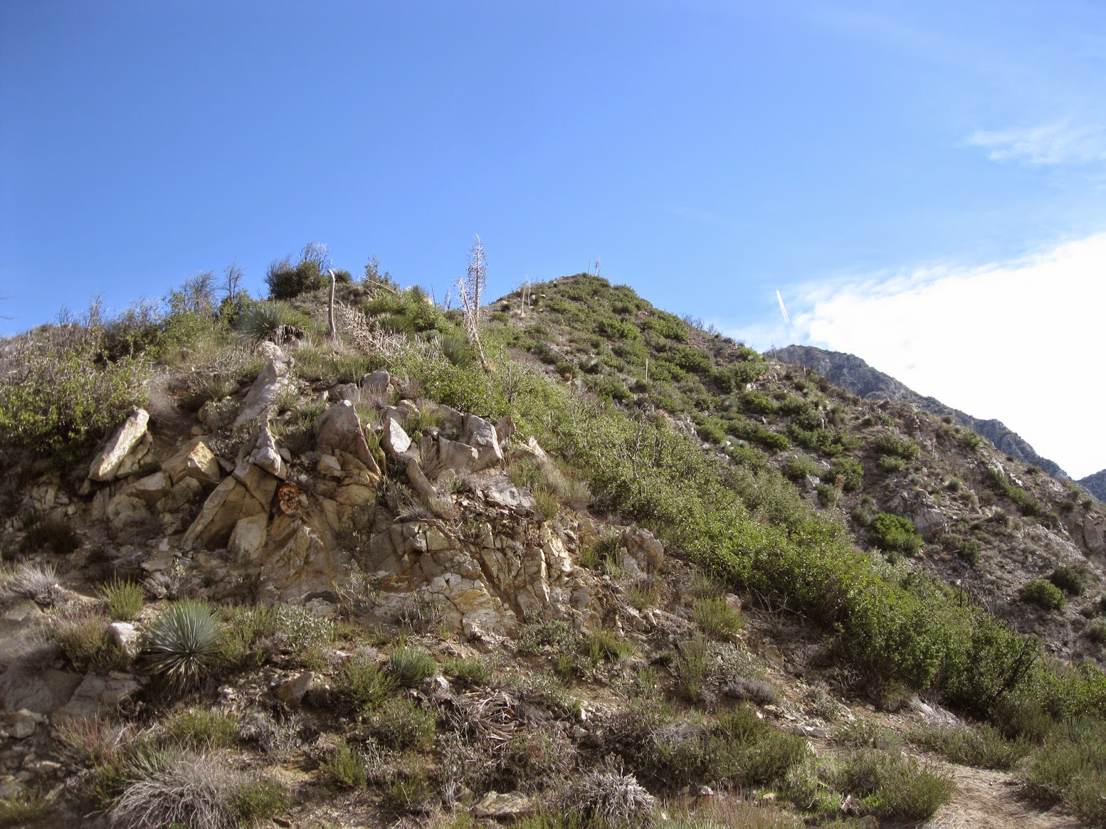
| Ridge above Colby Canyon |
 |
| View from Josephine Saddle (4,800') |
 |
| View to the north from the Saddle. Note the burned slopes. |
 |
| The ridge the climber's path begins on. |
 |
| Ascending the ridge |
 |
| first 75' Class 3 section |
 |
| On top on the first pitch |
 |
| View of Strawberry Peak and ridge from the first pitch |
 |
| Recovering forest |
 |
| Snow on the climber's path |
 |
| The West Face |
 |
| Some bouldering before the Class 3 climb |
 |
| The use trail up to the main climber's route |
 |
| Going up! |
 |
| More Class 3 |
 |
| A nice break of climbing |
 |
| Some exposure |
 |
| The northside |
 |
| looking back |
 |
| Final 100 yards to the summit |
 |
| Summit view of Mount Baldy and the High Country |
 |
| Mt. Wilson, San Gabriel Peak, Mount Disappointment, Mt. Markham, Mount Deception, Mount Lowe, Brown Mountain and the Arroyo Seco Canyon. |
 |
| Summit view north |
 |
| Charred geocache on summit which survived the Station Fire |
 |
| Contents |
 |
| Summit View west |
 |
| Summit view east |
 |
| Stawberry Peak from the Lawlor Saddle |
 |
| Lower Strawberry Meadows at the Junction |
 |
| Upper Meadows |
 |
| Northface |
 |
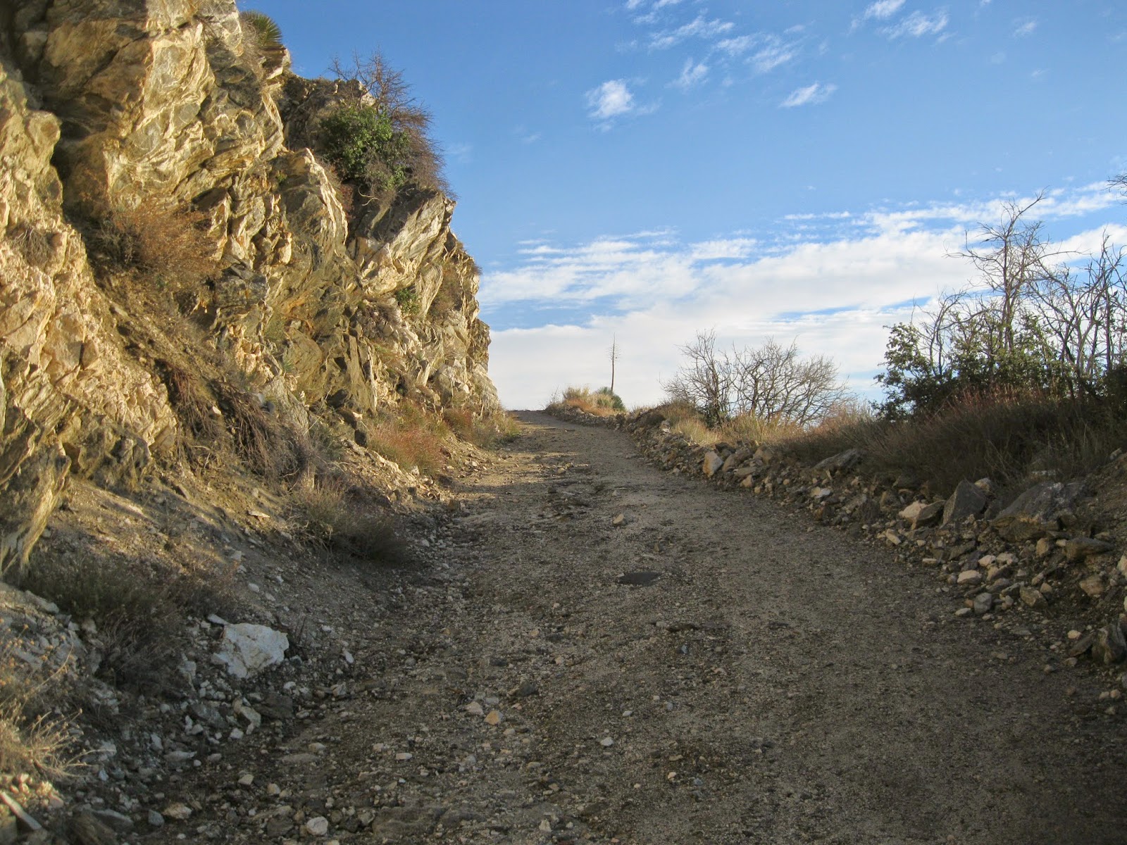
| Colby Canyon Trail back to Josephine Saddle |
 |
| Josephine Peak as seen coming up from Strawberry Meadows |
 |
| Josephine Peak Fire Road Spur Trail |
 |
| Snow on route to Josephine |
 |
| Nearing Josephine Peak summit |
 |
| Final summit puch |
 |
| Josephine Peak shadow below Strawberry Peak and the High Country |
 |
| Sunset |
 |
| The Awesome Tranquility of Creation |


No comments:
Post a Comment